


Cameroon: Cameroon Geography Profile
2012/02/27
Location, size, and extent
Situated in West Africa, Cameroon, shaped like an elongated triangle, contains an area of 475,440 sq km (183,568 sq mi), extending 1,206 km (749 mi) N – S and 717 km (446 mi) E – W . Comparatively, the area occupied by Cameroon is slightly larger than the national of California. It is bordered on the N and NE by Chad, on the E by the Central African Republic, on the E and S by the Republic of Congo, Gabon, and Equatorial Guinea, on the SW by the Gulf of Guinea (Atlantic Ocean), and on the W and NW by Nigeria, with a total boundary length of 4,993 km (3,103 mi). The coastline accounts for 402 km (249 mi) of this length.
Cameroon's capital city, Yaoundé, is located in the south central part of the country.
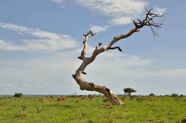
Topography
There are four geographical regions. The western lowlands (rising from sea level to 600 m/2,000 ft) extend along the Gulf of Guinea coast and average about 100 km (60 mi) in width. The northwestern highlands consist of forested volcanic mountains reaching over 2,440 m (8,000 ft) in height. Mt. Cameroon (4,095 m/13,435 ft), which stands isolated on the coast to the south, is the country's only active volcano and the highest peak in West Africa. The central plateau region extends eastward from the western lowlands and northwest highlands to the border with the Central African Republic and northward to the Bénoué (Benue) River. It includes the Adamawa Plateau, at elevations of 900 to 1,500 m (2,950 to 4,920 ft). This is a transitional area where forest gives way to savanna. The northern region is essentially a vast savanna plain that slopes down to the Chad Basin. Of the two major rivers, the Bénoué is navigable several months during the year, and the Sanaga is not navigable. Part of Lake Chad is in Cameroonian territory.
A coastal plain fringes the Gulf of Guinea. Plateaus, generally 3,000 to 4,500 feet (910 to 1,370 m) above sea level, prevail in southern and central Cameroon. Mountains are the dominant features in the northern and northwestern parts of the country. Mount Cameroon, an active volcano near the coast, reaches an elevation of 13,3533 feet (4,070 m). A lowland borders Lake Chad in the far north. The principal rivers are the Sanaga and Nyong.
Climate
The climate is tropical but varied, primarily because of the cooling result of elevation and the vastly differing amounts of rainfall regionally. Monthly temperatures throughout most of Cameroon average about 75° to 80° F. (24° to 27° C.). Considerably higher averages occur in the far north. Annual rainfall decreases from roughly 160 inches (4,060 mm) along the coast to less than 20 inches (510 mm) near Lake Chad. Mount Cameroon, with additional than 400 inches (10,160 mm) annually, is one of the rainiest places in the world.
Flora and fauna
Cameroon possesses practically each variety of flora and fauna found in tropical Africa. Dense rain forest grows along the coast and in the south. This gives way northward and eastward to open woodland and savanna. Wooded steppe is found in the northern panhandle. Major game animals include buffalo, elephant, hippopotamus, antelope, Derby eland, and kudu. Twenty-two primate species are known in the coastal forests along the Gabon border.
Western Africa, bordering the Bight of Biafra, between Equatorial Guinea and Nigeria
6 00 N, 12 00 E
Africa
slightly larger than California
4,591 km
varies with terrain, from tropical along coast to semiarid and hot in north
diverse, with coastal plain in southwest, dissected plateau in center, mountains in west, plains in north
petroleum, bauxite, iron ore, timber, hydropower
volcanic activity with periodic releases of poisonous gases from Lake Nyos and Lake Monoun volcanoes
waterborne diseases are prevalent; deforestation; overgrazing; desertification; poaching; overfishing
sometimes referred to as the hinge of Africa; throughout the country there are areas of thermal springs and indications of current or prior volcanic activity; Mount Cameroon, the highest mountain in Sub-Saharan west Africa, is an active volcano

- Cameroon News
-
- BOTSWANA: South Africa plays an active role in the AU
- BOTSWANA: Africa: How to Adapt to Beat Crippling Droughts
- BOTSWANA: Africa: Expanded Engagement for Caterpillar - Boosting Sales & Alleviating Poverty
- BOTSWANA: WHO Africa Health Forum App Leads the Way
- BOTSWANA: Africa: 'Market Information Gap Threatens U.S.$400 Billion Intra-Africa Trade'
- BOTSWANA: Africa: Crafting an African Victory for the World

- Trending Articles
-
- ITALY: Italy's Current Account Surplus Increases In May
- EUROPEAN UNION: Draghi Urges Patience And Persistence On Inflation
- EUROPEAN UNION: ECB Keeps Markets Guessing On Tapering
- SOUTH AFRICA: South Africa CB Unexpectedly Trims Interest Rate By 25 Bps
- ARGENTINA: ARGENTINA: Country Reaches Deal To Export Lemons To Mexico
- EUROPEAN UNION: Eurozone Consumer Confidence Unexpectedly Falls In July
.gif?1356023993 "Business Park of Mauritius Ltd, Mauritius")

