


Uganda: Uganda Environment Profile
2015/01/29
Many of Uganda’s natural ecosystems are undergoing conversion, degradation and decline in a totally unplanned and uncontrolled manner. Examples include – uncontrolled expansion of agricultural land; the erosion of soils and a decline in their fertility; falling quality and availability of water; unregulated encroachment and degradation of wetlands; encroachment of forest reserves; deforestation and the overgrazing of rangelands; and the invasion of weed species and bush encroachment. With the country's current population of 22 million people set to double by the end of the next decade, these pressures are bound to be insurmountable without sustainable action at both national and community levels.
Poor people, who rely disproportionately on the environment for their basic needs, are confronted with environmental problems including soil erosion and declining land productivity, the spread of alien invasive species, and declining fish stocks. With over 80% of the Ugandan workforce involved in agriculture, soil erosion and declining soil fertility are significantly impacting the ability of the poor to meet nutritional needs. This is resulting in an increase in deforestation and encroachment on ecologically sensitive areas (such as wetlands), as poor people attempt to secure alternative income sources in the face of growing food insecurity.
Through partnerships with grassroots organizations in the Jinja district, FSD works to educate and promote easily integrated solutions that provide both immediate returns, while protecting natural capital. Simple, alternative technologies and methods are used to encourage organic/sustainable agricultural practices, improve crop efficiency, decreasing deforestation, increasing reforestation, and build environmentally-friendly income-generating projects. FSD welcomes interns and volunteers to support existing environmental methods and also bring innovation to our partner organizations in a variety of capacities.
Africa, that straddles the <!--Add this page: equator-->equator, west of Kenya, south of Uganda's western border with the Democratic Republic of the Congo is defined by the Albertine Rift, the western branch of the <!--Add this page: Great Rift System-->Great Rift System of <!--Add this page: Africa">Africa-->Africa. This Rift valley boundary area includes two of <!--Add this page: African_Great_Lakes">African Great Lakes-->African Great Lakes, Lake Albert and Lake Edward, the snow-capped Ruwenzori mountains (considered by many to be the legendary "<!--Add this page: Mountains of the Moon-->Mountains of the Moon"), as well as many imperiled species, like the Mountain gorilla. Uganda is a fertile, well-watered country with many lakes and rivers, including a sizable part of Lake Victoria (a fifth of the country's area is water). The country is mostly plateau declining in to the north and rimmed with highlands and mountains and volcanoes. Uganda's major environmental issues are rooted in meeting the human needs for land, firewood, and other natural resources for a rapidly growing population (3.6% per year). Issues include draining of wetlands for agricultural use; deforestation; overgrazing; soil erosion; invasive species in Lake Victoria; and widespread poaching. The country's environmental challenges have been exacerbated by regional wars and civil unrest.
Ecoregions are areas that: share a large majority of their species and ecological dynamics; share similar environmental conditions; and, interact ecologically in ways that are critical for their long-term persistence. Scientists at the World Wildlife Fund (WWF), have established a classification system that divides the world in 867 terrestrial ecoregions, 426 freshwater ecoregions and 229 marine ecoregions that reflect the distribution of a broad range of fauna and flora across the entire planet.
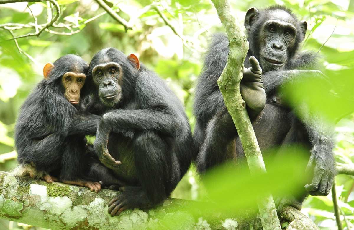
WWF Ecorgions of Uganda :Source WWF
The following WWF ecoregions are found in Uganda:
- Victoria Basin forest-savanna mosaic (AT0721) covers much of Uganda spreading north and east from Lake Victoria. The ecoregion is most noted for its high species diversity and endemism resulting from the mixture of habitat types and species from both western and eastern Africa. Add the scattered wetland habitat, and you get an abundance of animals representing different habitat types. These include more than 310 species of trees and shrubs, 280 species of birds, 220 species of butterflies, and 100 species of moths. The tropical moist climate here has two rainy seasons--one in April and May and another in October and November. These help replenish the waters for the many wetland areas of the ecoregion.
- East Sudanian savanna (AT0705) reaches down from the north to encompass much of northern Uganda and reaching further south to encompass Lake Albert in the west to near Mount Elgon National Park in the east. This hot, dry, wooded savanna composed mainly of Combretum and Terminalia shrub and tree species and tall elephant grass has been adversely affected by agricultural activities, fire, clearance for wood and charcoal, but large blocks of relatively intact habitat remain even outside protected areas. Populations of some of the larger mammal species have been reduced by hunting, but good numbers of others remain. Although numerous protected areas exist, most are under-resourced "paper parks" with little active enforcement on the ground, and some have suffered from decades of political instability and civil unrest. The poor infrastructure and inaccessibility of the region have resulted in little development of tourism and wildlife-related revenue generation schemes, with the notable exception of sport hunting in the Central African Republic. Considerable external support to this ecoregion from multilateral and bilateral aid agencies is likely to be needed for many years to maintain or improve current levels of biodiversity.
- Albertine Rift montane forests (AT0101) in the west of Urganda represent the largest ecoregion in the Albertine Rift, particularly in the middle section. It is an area of exceptional faunal and moderate floral endemism. These mountains also support the Mountain gorilla, which is one of the most charismatic flagship species in Africa, and an effective target for much of the current conservation investment in the area. The area straddles the borders of five different nations, making effective ecoregional conservation a challenge in the area. Although there are a number of National Parks and Forest Reserves in the area, the recent wars have made their management difficult over much of the ecoregion. Additional threats include conversion of most forest areas outside reserves into farmland, together with logging, firewood collection, and bushmeat hunting within the remaining forest areas.
- Ruwenzori-Virunga montane moorlands (AT1013) occur mostly above 9,800 feet (3,000 m) in two areas atop the Ruwenzori and Virunga mountains. Habitat types include lakes at various altitudes, marshy deltas and peat bogs, open montane grasslands, areas of scrub, patches of high elevation forest, glaciers, and even snow fields. It include habitat for the vulnerable mountain gorilla, the Ruwenzori-Virunga Montane Moorlands contain two World Heritage Sites--areas set aside for protection by international treaties.
- East African montane forests (AT0108)are found mostly in Kenya to the east, howver,six smaller area of this ecoregion occur in Uganda, most notably, encircling Mount Elgon on the border with Tanzania. Situated on continuous and isolated mountain ranges, this ecoregion is rich in endemic species, although the numbers of endemics are lower here than in other eastern African mountain ecoregions. The primary threats to the ecoregion come from forest clearance due to an expanding population needing new farmland, and from forest degradation due to a number of exploitative activities, including timber logging.
- Northern Acacia-Commiphora bushlands and thickets (AT0711) cover a large area of eastern Uganda and and across the border in Kenya. The ecoregion, comprised of semi-arid mixed woodland, scrub and grassland, is reasonably protected within a well-functioning system of national parks and other reserves. However, numbers of humans and livestock are increasing outside protected areas, and nomadic pastoralism is declining in favor of settlement, causing environmental degradation through heavy grazing and agricultural expansion. Water is always in short supply in this region, where one or both rainy seasons commonly fail. Certain species such as Grevy’s zebra have undergone severe declines because of competition with livestock for, and often exclusion from, water supplies. Poaching also threatens some of the large herbivores found here, particularly the Black rhinoceros and, until recently, the African elephant.
- Northern Congolian forest-savanna mosaic (AT0712) touches upon a small are of Uganda's western Albertine Rift region from the north east where its large extent covers the norther east of the DRC and the south west of Sudan. This narrow transition zone marks an abrupt habitat discontinuity between the extensive Congolian rain forests and Sudanian/Sahelian grasslands. With their characteristically diverse habitat complexes, forest savanna mosaics support a high proportion of ecotonal habitats, which have high species richness and are possible locii of tropical differentiation and speciation.
See also:

- Uganda News
-
- BOTSWANA: Africa: USA-Africa - No Policy? Bad Policy? or Both?
- BOTSWANA: Africa: U.S. State Department To Get Experienced Diplomat in Key Africa Post
- UGANDA: Ugandan Govt Starts Verifying International Academy Teachers
- BOTSWANA: Africa’s economic growth in 2016 was driven by East Africa
- BOTSWANA: Africa property offers rich pickings for the brave
- BOTSWANA: Bill Gates sees US likely to maintain aid levels for Africa

- Trending Articles
-
- HUNGARY: Putin, Hungarian PM discuss new nuclear power plant
- CHINA: Xi Jinping opens BRICS Summit in Xiamen, asks members to shelve differences
- CHINA: Xiamen BRICS summit in China
- CHINA: The Mixed Fortunes of the BRICS Countries, in 5 Facts
- CHINA: BRICS Must Trust Diplomacy To Resolve Issues, Says China's Xi Jinping
- BOTSWANA: Africa: U.S. State Department To Get Experienced Diplomat in Key Africa Post


