


Thailand: Thailand Geography Profile
2015/02/15
Thailand (previously Siam) is a nation of sixty seven million people in southeastern Asia, bordering the Andaman Sea and the Gulf of Thailand, southeast of Burma (Myanmar), north of Malaysia, and west of Laos and Cambodia.
The central third of Thailand is within the watershed of the Chao Phray River which passes through the capital Bangkok to the Gulf of Thailand.
Bangkok (Krung Thep), with seven million people is the country's largest city and the center of a much larger metropolitan population.
Thailand's major environmental issues include:
- air pollution from vehicle emissions;
- water pollution from organic and factory wastes;
- deforestation;
- soil erosion; and,
- wildlife populations threatened by illegal hunting
Thailand is susceptible to land subsidence in Bangkok area resulting from the depletion of the water table; and, droughts.
A unified Thai kingdom was established in the mid-14th century.
Known as Siam until 1939, Thailand is the only Southeast Asian country never to have been taken over by a European power.
A bloodless revolution in 1932 led to a constitutional monarchy.
In alliance with Japan during World War II, Thailand became a US treaty ally in 1954 after sending troops to Korea and fighting alongside the US in Vietnam.
A military coup in September 2006 ousted then Prime Minister Thaksin Chinnawat.
December 2007 elections saw the pro-Thaksin People's Power Party (PPP) emerge at the head of a coalition government that took office in February 2008.
The anti-Thaksin People's Alliance for Democracy (PAD, aka yellow-shirts) in May 2008 began street demonstrations against the new government, eventually occupying the prime minister's office in August and Bangkok's two international airports in November. After an early December 2008 court ruling that dissolved the ruling PPP and two other coalition parties for election violations, the Democrat Party formed a new coalition government and Abhisit Wetchachiwa became prime minister.
In October 2008 Thaksin fled abroad in advance of an abuse of power conviction and has agitated his followers from abroad since then. Thaksin supporters under the banner of the United Front for Democracy Against Dictatorship (UDD, aka red-shirts) rioted in April 2009, shutting down an ASEAN meeting in Pattaya.
Following a February 2010 court verdict confiscating half of Thaksin's frozen assets, the UDD staged large protests between March and May 2010, and occupied several blocks of downtown Bangkok. Clashes between security forces and protesters, elements of which were armed, resulted in at least 92 deaths and an estimated $1.5 billion in arson-related property losses. These protests exposed major cleavages in the Thai body politic that hampered the government and led to a general election in July 2011. Thaksin's youngest sister, Yinglak, led the Puea Thai party to an electoral win and assumed control of the government in August. Yinglak's leadership was almost immediately challenged by historic flooding in late 2011 that had large swathes of the country underwater and threatened to inundate Bangkok itself.
Since January 2004, thousands have been killed and wounded as separatists in Thailand's southern ethnic Malay-Muslim provinces continued the campaign of violence associated with their cause.
Geography
Location:
Southeastern Asia, bordering the Andaman Sea and the Gulf of Thailand, southeast of Burma.
Thailand controls only land route from Asia to Malaysia and Singapore
Geographic Coordinates:
15 00 N
100 00 E
Area: 513,120 sq km ( land: 510,890 sq km - water: 2,230 sq km )
Land Boundaries: 4,863 km of border with Burma 1,800 km, Cambodia 803 km, Laos 1,754 km, Malaysia 506 km)
Coastline: 3,219 km
Maritime Claims:
territorial sea: 12 nm
exclusive economic zone: 200 nm
continental shelf: 200 m depth or to the depth of exploitation
Natural Hazards: land subsidence in Bangkok area resulting from the depletion of the water table; droughts
Terrain:
Central plain;
Khorat Plateau in the east;
mountains elsewhere.
The highest point is Doi Inthanon 2,576 m.
Climate:
tropical;
rainy, warm, cloudy southwest monsoon (mid-May to September);
dry, cool northeast monsoon (November to mid-March);
southern isthmus is always hot and humid
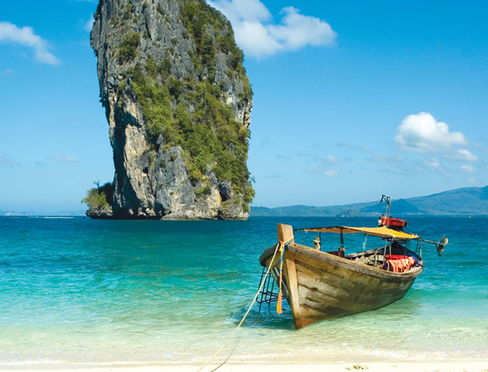
caption Source: Wikimedia Commons
Ecology and Biodiversity
1. Kayah-Karen montane rain forests
2. Central Indochina dry forests
3. Northern Thailand-Laos Moist Deciduous Forests
4. Luang Prabang montane rain forests
5. Northern Khorat Plateau moist deciduous forests
6. Southeastern Indochina dry evergreen forests
7. Cardamom Mountains rain forests
8. Chao Phraya Lowland Moist Deciduous Forests
9. Indochina mangroves
10. Chao Phraya freshwater swamp forests
11. Tenasserim-South Thailand Semi-Evergreen Rain Forests
12. Peninsular Malaysia rain forests
13. Peninsular Malaysia montane rain forests
14. Mayanmar coastal rain forests
Southeastern Asia, bordering the Andaman Sea and the Gulf of Thailand, southeast of Burma
15 00 N, 100 00 E
Southeast Asia
slightly more than twice the size of Wyoming
4,863 km
tropical; rainy, warm, cloudy southwest monsoon (mid-May to September); dry, cool northeast monsoon (November to mid-March); southern isthmus always hot and humid
central plain; Khorat Plateau in the east; mountains elsewhere
tin, rubber, natural gas, tungsten, tantalum, timber, lead, fish, gypsum, lignite, fluorite, arable land
land subsidence in Bangkok area resulting from the depletion of the water table; droughts
air pollution from vehicle emissions; water pollution from organic and factory wastes; deforestation; soil erosion; wildlife populations threatened by illegal hunting
controls only land route from Asia to Malaysia and Singapore

- Thailand News
-
- AFGHANISTAN: UNWTO: International tourism – strongest half-year results since 2010
- THAILAND: Thailand's GDP Growth Accelerates In Q2
- THAILAND: Thai Economy Expands Most Since 2013
- THAILAND: Thailand promotes organic agriculture with new incentives
- THAILAND: Tourism Authority of Thailand (TAT) is arranging a one-day tourism seminar
- THAILAND: Thailand works to liberalise insurance sector

- Trending Articles
-
- CAMEROON: Cameroon: English-speaking Students Do Not Return to School
- CAMEROON: Cameroon: Giving Priority to Education
- BOTSWANA: Africa: U.S. State Department To Get Experienced Diplomat in Key Africa Post
- RWANDA: Women Make Up More Than Half of Rwanda's New Cabinet
- RWANDA: Rwanda: RDB's Good Problem - More Gorillas, Less Habitat
- RWANDA: Rwanda: Medical Drone Delivery System Wins Prestigious Global Award


